

I thought this was kind of interesting. I came across a link to Wisconsin Historic Aerial Image Finder this evening and used it to download an aerial image of Pheasant Branch Conservancy from 1937.
Image: Pheasant Branch Conservancy, Middleton (WI) 1937
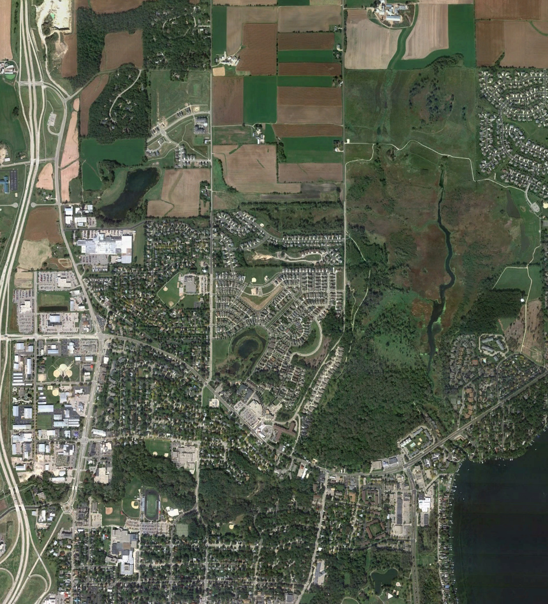
Image: Pheasant Branch Conservancy, Middleton (WI) 2010
It's neat to compare the two images for differences and similarities. For area and location context, you can use this Google Map I created and maintain for birding at Pheasant Branch Conservancy.
I wonder what the birding was like back then, or if anyone was actually even birding there. I'll bet the warbler action during spring migration along the creek corridor was even more intense then compared to what it is today.